NOVA SCOTIA - 1992Click for larger photos. 
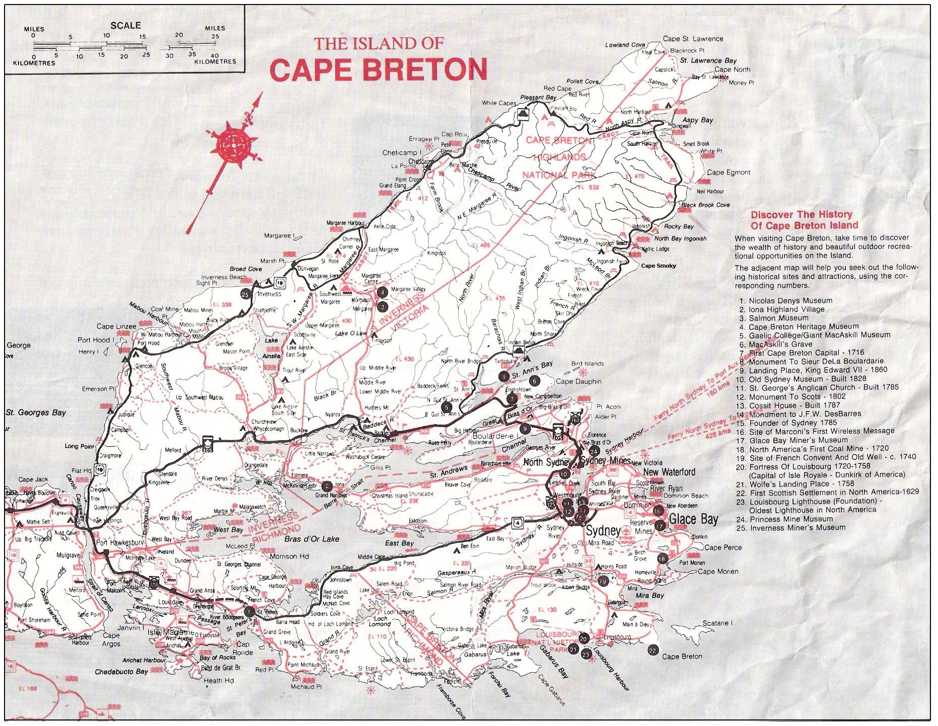
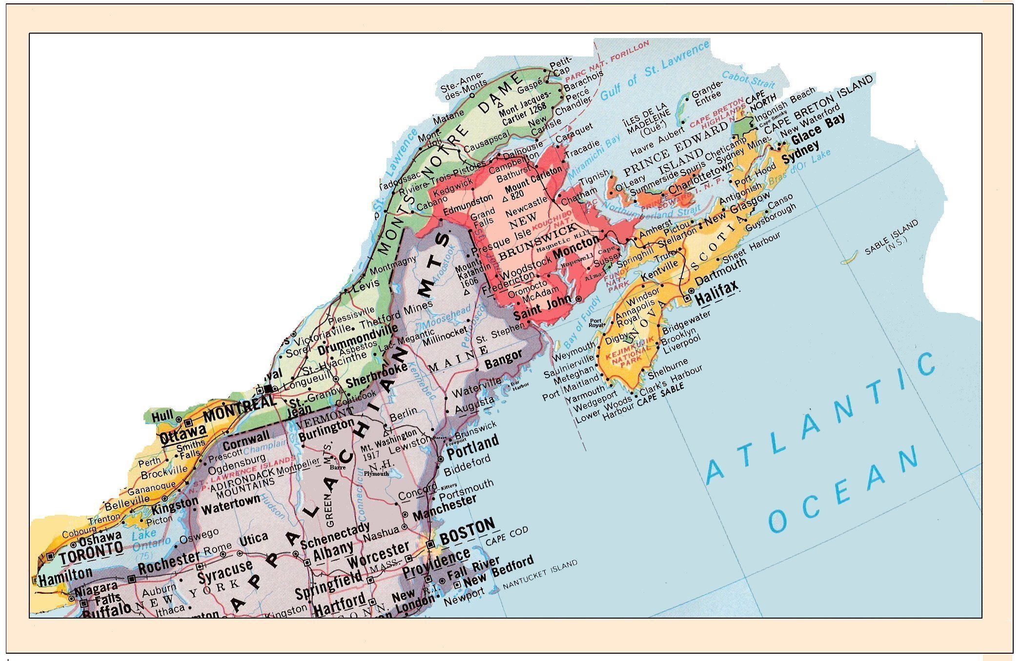
We had reserved our stay in Truro, Nova Scotia, at another Journey's End Motel for the night of Tuesday, August 18, and we arrived in time to observe a tidal bore come up the Salmon River at 4:32 PM. On Wednesday after breakfast, we headed across the Canso Causeway to Cape Breton Island where we took the Atlantic Side of the Cabot Trail north to spectacular Cape Smokey, which ascends 365 metres and is capped with the Cape Breton Highlands National Park. We enjoyed stunning ocean views as we had a barbecue lunch. [Perhaps it's best to use the Map of Cape Breton Island for this segment, but you may continue to use the map of our trip East if you need it. Viewers may also click on the map of Canada to follow our trip in Nova Scotia.]
 
  
  |