NEW HAMPSHIRE - 1992
Click for larger photos.


By taking the I93 to exit 27, we arrived at the Days Inn in Plymouth, New Hampshire, in the afternoon of August 27, and found a picturesque covered bridge nearby after a seafood salad plate for lunch at Biederman's Deli. It began to rain shortly afterwards, so we had dinner at the Days Inn restaurant and remained inside.


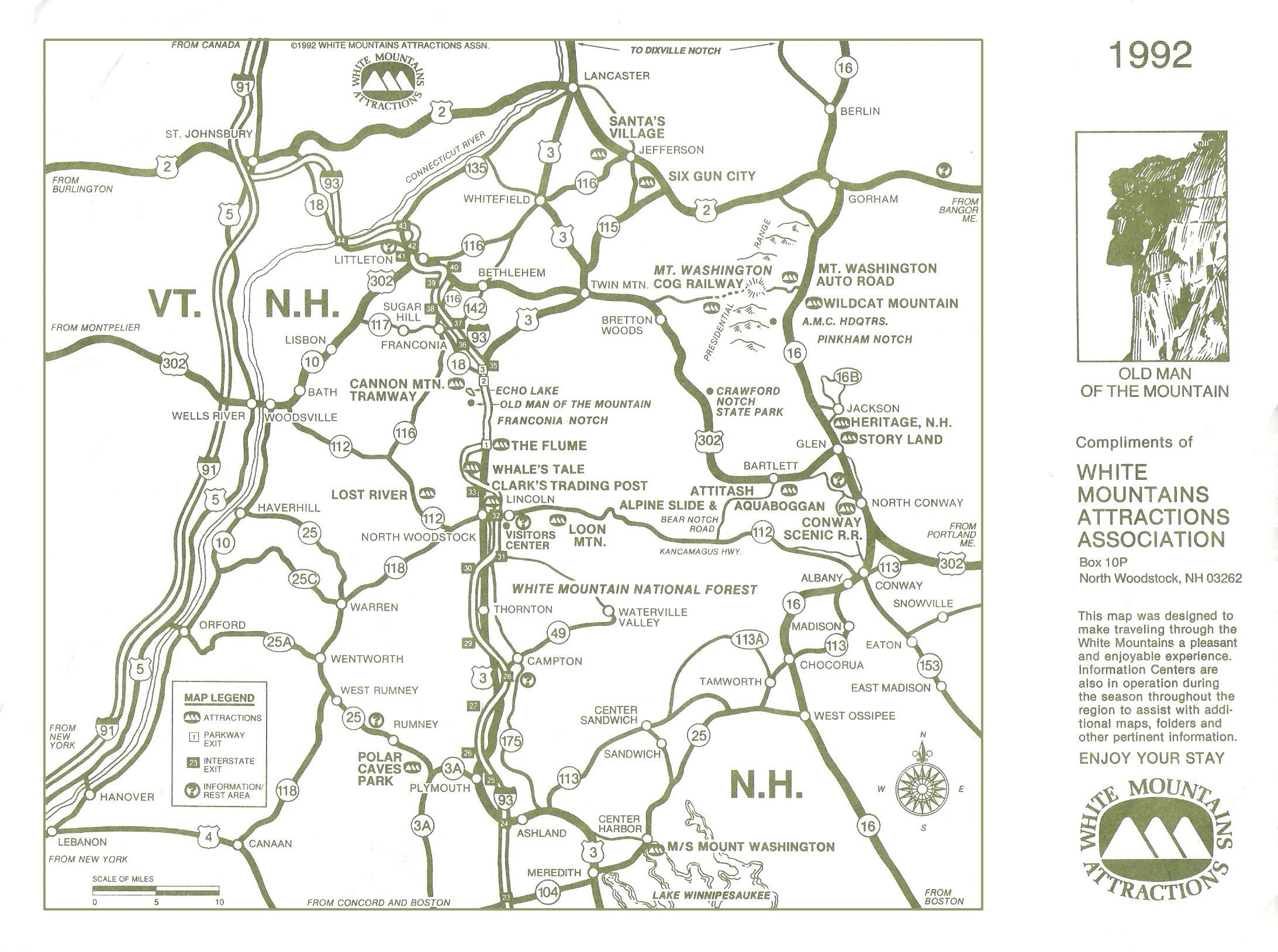
Early on Friday, August 28, after a special continental breakfast at the Days Inn in Plymouth NH, we headed for the Franconia Notch in the White Mountains and purchased tickets at the Visitors' Centre for the Flume and the Tram Lift III (US$22). Our first tour was along the trail to the flume and the basin (called the "Old Man's Foot").


We learned that the nose of the "Old Man of the Mountains" had eroded during the winter but, in any case, the head was barely visible in the fog. We took the tram lift to the top of Cannon Mountain and had two foot-long hot dogs and coffee in the restaurant at the top . . . hoping that the fog would clear. It didn't!


No further pictures were taken as we headed on I-89 to exit 6 on Vermont Hwy 14 and freshened up at the Days Inn at Barre on the outskirts of Montpelier, Vermont. Our next section will be reserved for a few closing comments about our route home.
